

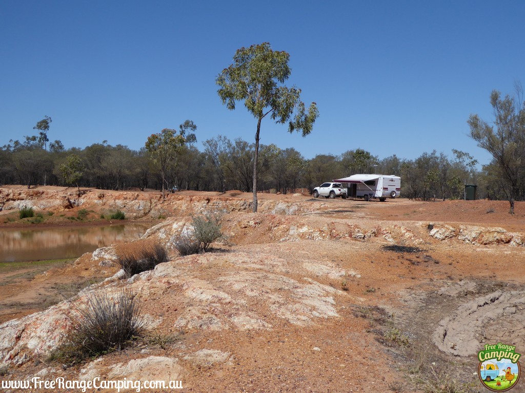

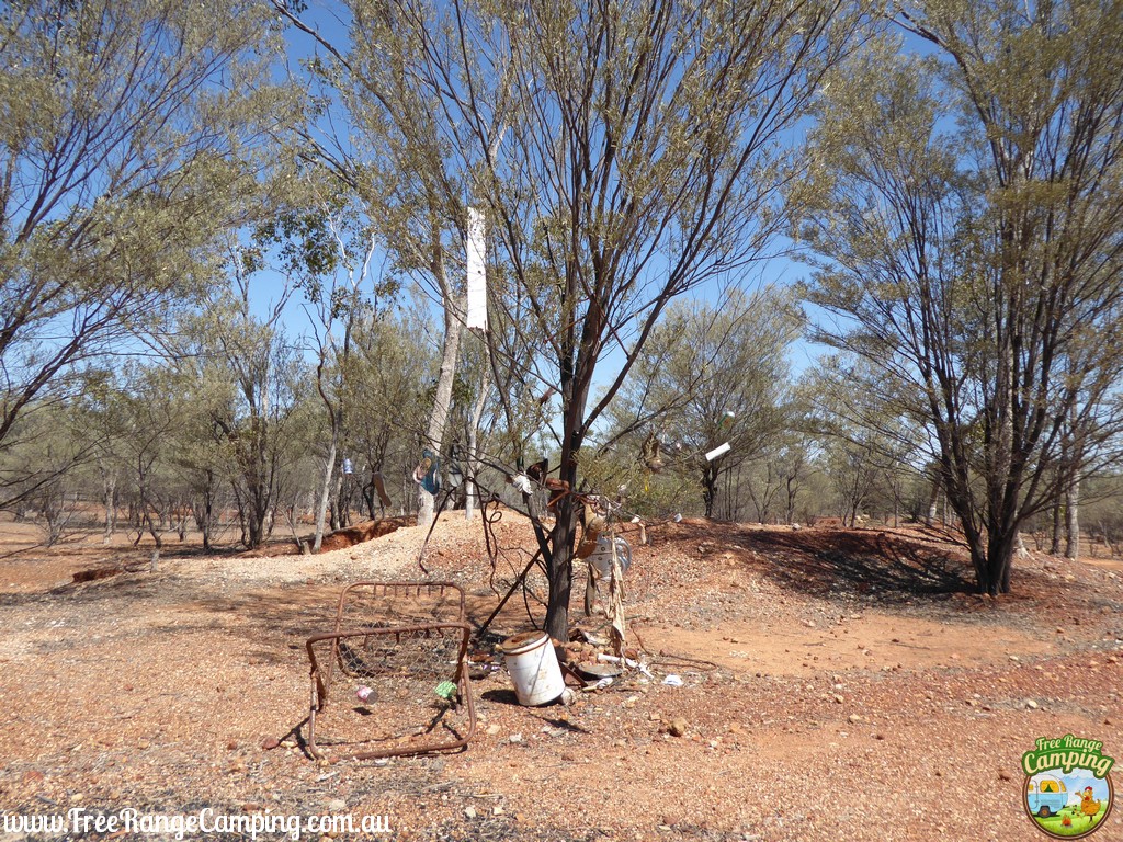
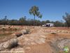
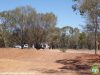
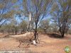
This site is located approximately 12km east of Charleville. It is a large site consisting of gravel and dirt areas which are mostly flat. There are a few tracks that run off in to different sections, and it borders the railway line to the rear. There are plenty of small trees for shade or sites also in full sun. It has a large waterhole near the entrance which has water in in most of the time.
This is a free site, so please help to keep it that way by keeping it clean and supporting the nearest town.
ACCESS
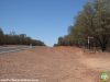
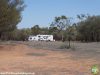
Access is direct off the Warrego Highwway, but can be hard to spot. There is only a small brown sign at the entrance. The entrance is also quite steep, so best approached slow and on an angle. But if using caution all size rigs can fit in. If approaching from the west (Charleville) there is a crest so extra caution should be taken.
FACILITIES
There are no facilities at this site other than waste bins, so it best suited to those who are self-sufficient.
Data Courtesy of: Charleville TIC & FRC
Updated: 120915
Opening Hours
Monday
-
Tuesday
-
Wednesday
-
Thursday
-
Friday
-
Saturday
-
Sunday
-
Address & Contact
Our Address
Warrego Highway
GPS
-26.418993207844437, 146.35055776943364
Telephone
-
-
Web
-
Additional Information
Suburb:
Charleville
State:
QLD
Pin Code:
4470
Location:
12km East of Charleville
Access:
Westbound Lane
Responsible Authority:
Murweh Shire Council
Post ID:
21679
Features
| |||||||||||||||||||||||||


Comments 0