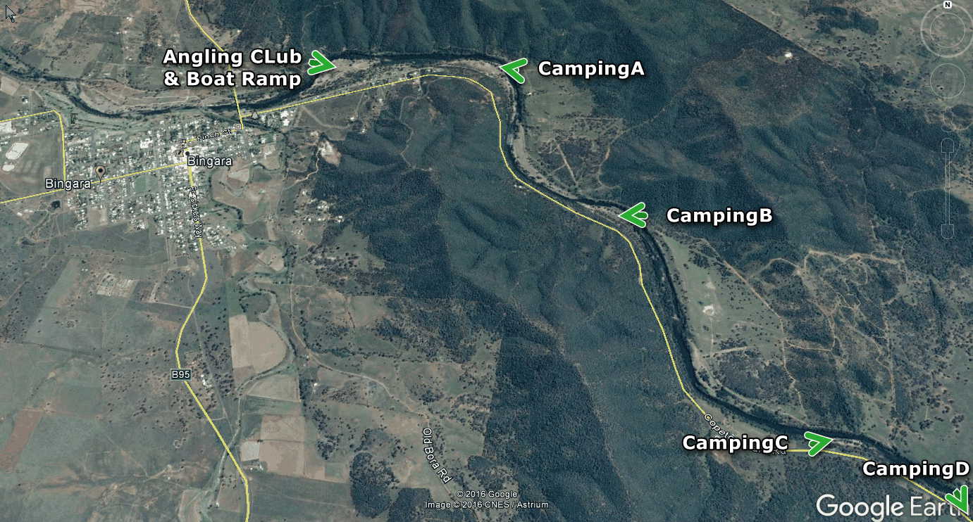

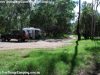
The Gwydir River Camps currently comprise four separate areas along the river alongside Copeton Dam Road; note that the camping area closest to the Caravan Park is now restricted to camping by the Angling Club only from January 2017 although the boat ramp is still open to the public.
HOW TO GET THERE
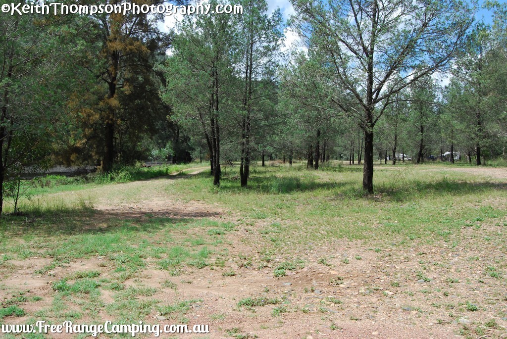
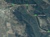
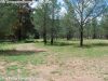
From the beginning of Copeton Dam Road, between the two bridges, the first campground (A on the Google Earth map below) is accessed by turning left after 1.5km (the last small street) and then turning right and driving into the first camping area. This area is suitable for all rigs with plenty of flat area.
Turnoffs to the other three areas are at the following distances from the bridge:
Area B: 3.7km – there are 2 or 3 access points here as well as another at the far end best approached from the other direction. This is not so suited to big Rigs.
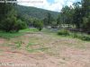
Area C: 6.6km – there is only 1 useable access point here but it is suitable for all size rigs although not as large an area as the previous 2. Only 1 access point.
Area D: 7.2km – More suited to smaller rigs. Multi access points.
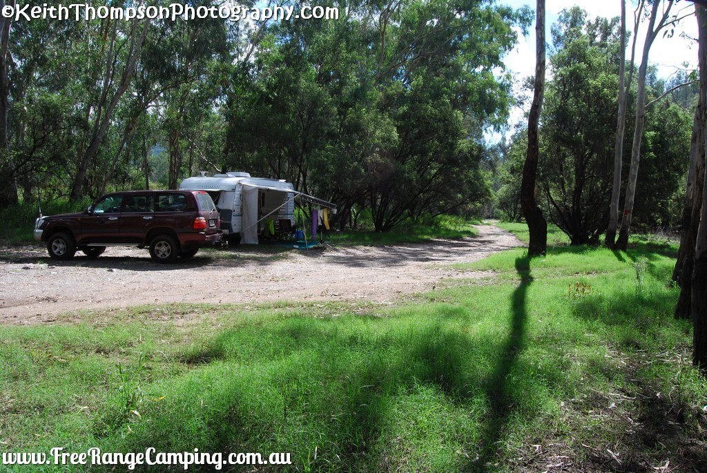
SITE ACCESS
All sites are gravel and bare earth surface and access tracks can have small washaways so care needs to be taken, especially in wet weather as getting out again (except Area 1) is uphill.
FEES AND BOOKINGS
As these sites are free of charge please leave them clean and tidy and help to support the local town.
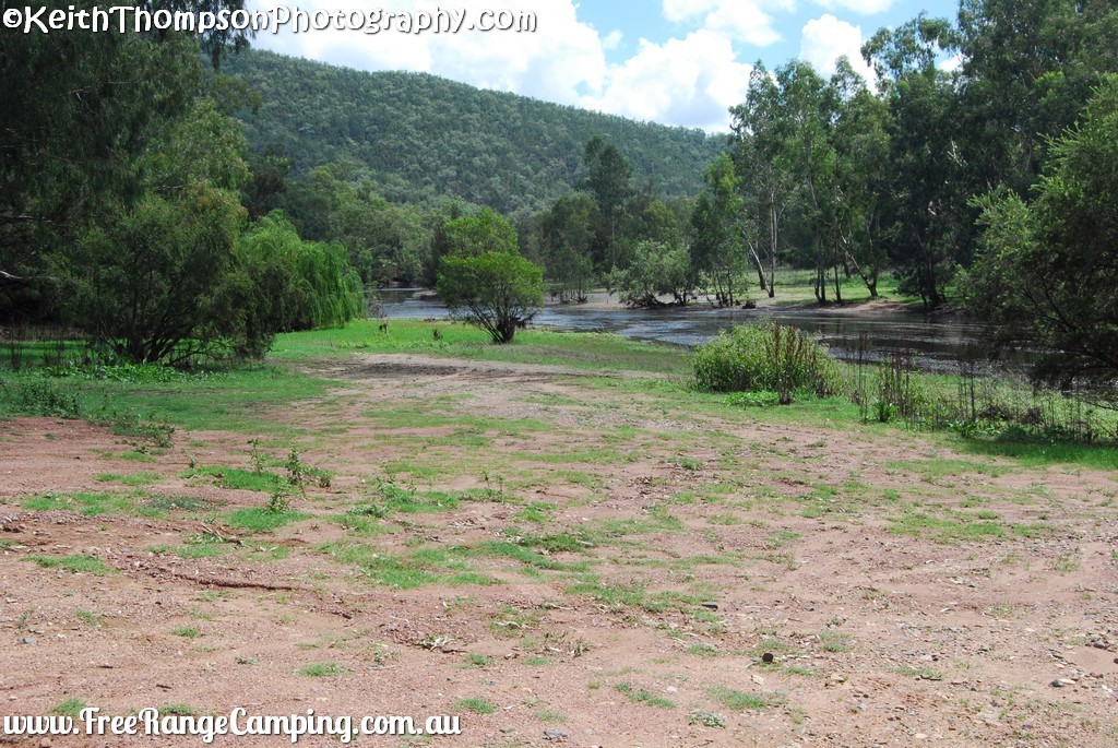
THINGS TO DO
Fishing, Swimming (when enough water), birdwatching.
Opening Hours
Monday
-
Tuesday
-
Wednesday
-
Thursday
-
Friday
-
Saturday
-
Sunday
-
Address & Contact
Additional Information
Suburb:
Bingara
State:
NSW
Pin Code:
2404
Responsible Authority:
Gwydir Shire Council
Post ID:
30568
Features
| |||||||||||||||||||||||||||||||||||||||||||


